The Geospatial Neighborhood Analysis Package

geosnap makes it easier to explore, model, analyze, and visualize the social and spatial dynamics of neighborhoods. Neighborhoods are important for a wide variety of reasons, but they’re hard to study because of some long-standing challenges, including that
- there is no formal definition of a “neighborhood” so identifying and modeling them is characterized uncertainty
- many different physical and social data can characterize a neighborhood (e.g. its proximity to the urban core, its share of residents with a high school education, or the median price of its apartments) so there are countless ways to model neighborhoods by choosing different subsets of attributes
- conceptually, neighborhoods evolve through both space and time, meaning their socially-construed boundaries can shift over time, as can their demographic makeup.
- geographic tabulation units change boundaries over time, meaning the raw data are aggregated to different areal units at differerent points in time.
To address these challenges,geosnap provides a suite of tools for creating socio-spatial datasets, harmonizing those datasets into consistent set of time-static boundaries, modeling bespoke neighborhoods and prototypical neighborhood types, and modeling neighborhood change using classic and spatial statistical methods. It also provides a set of static and interactive visualization tools to help you display and understand the critical information at each step of the process.
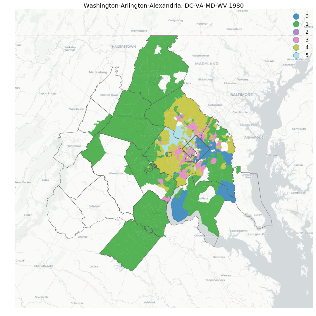
Batteries Included: geosnap comes packed with 40 years of high-resolution data, thanks to quilt, so you can get started modeling neighborhoods in the U.S. immediately. But you’re not just limited to the data provided with the package. geosnap works with any data you provide, any place in the world.
0.1 Citation
For a generic citation of geosnap, we recommend the following:
@misc{Knaap2019,
author = {Knaap, Elijah and Kang, Wei and Rey, Sergio and Wolf, Levi John and Cortes, Renan Xavier and Han, Su},
doi = {10.5281/ZENODO.3526163},
title = {geosnap: The Geospatial Neighborhood Analysis Package},
url = {https://zenodo.org/record/3526163},
year = {2019}
}
If you need to cite a specific release of the package, please find the appropriate version on Zenodo
0.2 Funding
![]()
This project has received financial support from NSF Awards
- #1733705 Neighborhoods in Space-Time Contexts
- #1831615 Scalable Geospatial Analytics for Social Science Research
- #1421935 New Approaches for Spatial Distribution Dynamics
The Geosnap software project is also based on research funded by (or in part by) the Bill & Melinda Gates Foundation (award INV024366). The findings and conclusions contained within are those of the authors and do not necessarily reflect positions or policies of the Bill & Melinda Gates Foundation.